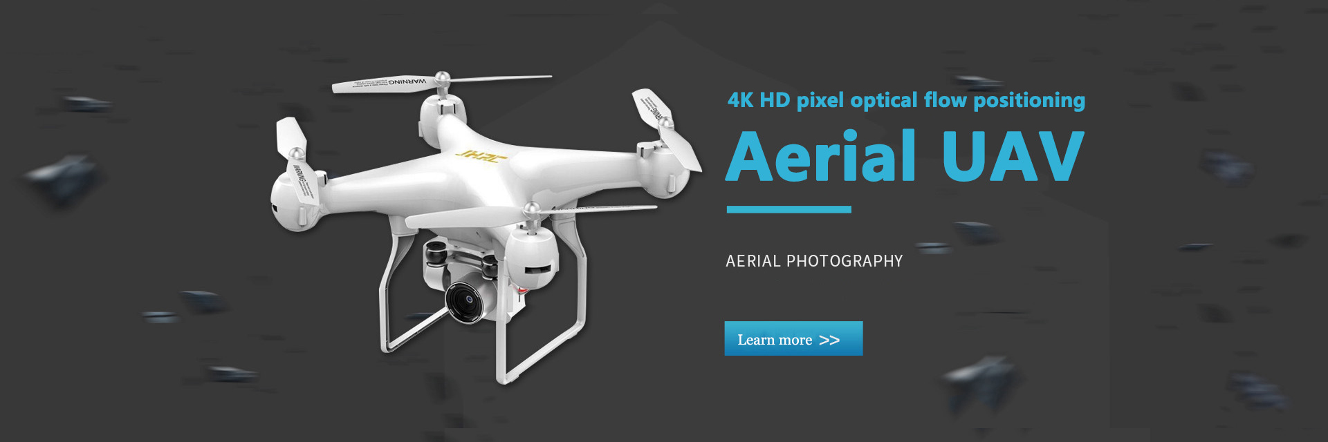
Aerial UAV
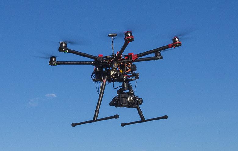
UAV aerial photography is a remote sensing platform which is very convenient to control and transfer. Taking off and landing is limited by the site, and it can take off and land in playground, highway or other open ground. It has good stability and safety, and it is very easy to transfer.
In aerial photography, remote sensing aerial photography has a broad market prospect
A: Many of the operation sites of remote aerial photography are airspace, altitude or dangerous areas which can not be reached by manned aircraft.
B: The cost of flying is only a fraction of that of a manned aircraft. It is small in size and flexible in motion, and can be used for ultra-low altitude flight. Some operations are impossible for manned aircraft to increase the cost.
C: The flight approval procedures are simple.
For example, if we use the largest remote-controlled airship to take aerial photos over the city, according to the regulations, we only need to report to the meteorological department for approval. If we fly outside the city, because it belongs to the remote control aircraft, we basically do not need to approve (except for airports and special areas).
Remote control helicopters and other aircraft do not need approval due to their small size.
D: It is flexible and easy to choose the best angle of view, and has low requirements for takeoff and landing site.
E: UAV has good safety performance.
F: UAV aerial images have the advantages of high definition, large scale, small area and high current.
The primary factor of dynamic monitoring is to have a practical, high-resolution, continuous and stable monitoring data source that can receive and use quickly. All regions and departments need the latest and most complete topographic data in comprehensive planning, field archaeology, land consolidation and monitoring, farmland and water conservancy construction, infrastructure construction, factory and mine construction, residential area construction, environmental protection and ecological construction, etc., which has become an urgent problem to be solved by government departments at all levels and new development zones.
We use remote sensing aerial photography technology to accurately reflect the comprehensive information of newly discovered historic sites, new streets, bridges, airports, stations, land and resource utilization. Remote sensing aerial photography technology is a new application technology which combines various advanced means.
UAV aerial photography is widely used
UAV aerial photography technology can be widely used in national ecological environment protection, mineral resources exploration, marine environment monitoring, land use investigation, water resources development, crop growth monitoring and yield estimation, agricultural operation, natural disaster monitoring and assessment, urban planning and municipal management, forest pest protection and monitoring, public security, national defense, digital earth and advertising Photography and other fields.


